Bahaghari Maps aims to create usable trail maps for fellow outdoor enthusiasts in the Philippines.
Available maps
Have something to say? We'd love to hear it! Tell us what you think!
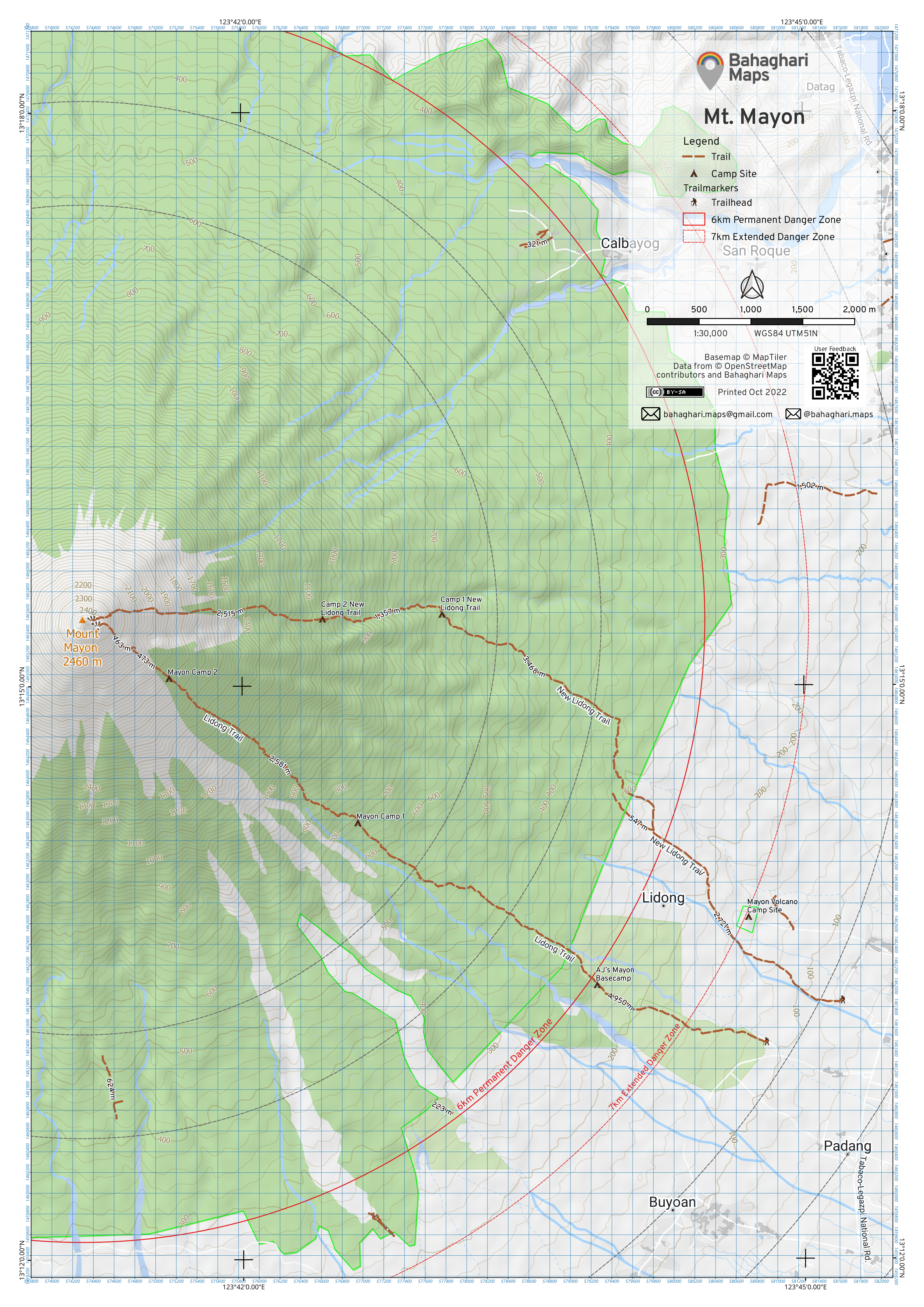
Mt. Mayon
 Trail map covers the entirety of Mt. Mayon Watershed Forest Reserve, with areas delineating Permanent and Extended Danger Zones as designated by PHIVOLCS.
Scale: 1:30,000 Datum: WGS84 UTM51N
Data Sources:
- Map data copyrighted OpenStreetMap contributors
- Base map from MapTiler Outdoors
Downloads:
